First-Ever Video Captures Supershear Earthquake Rupture at 3.7 Miles Per Second
Introduction
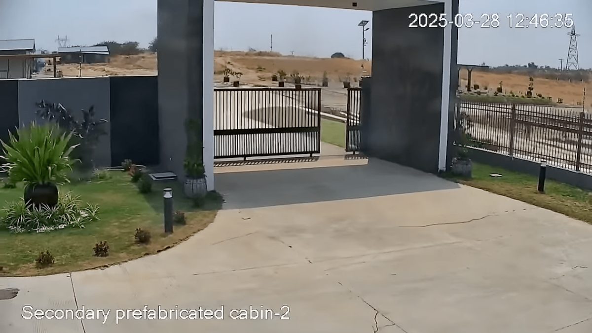
In a landmark moment for seismology, researchers have obtained the first-ever visual recording of a supershear earthquake rupture—a phenomenon previously inferred solely through seismic instrumentation. The footage, captured by a routine outdoor CCTV camera during the devastating March 28, 2025, magnitude 7.7 earthquake in Myanmar, has provided unprecedented real-time evidence of tectonic motion along the Sagaing Fault. This event, centered near Mandalay, one of Myanmar’s most populous cities, not only caused catastrophic loss of life—5,456 confirmed deaths and over 11,000 injuries—but also yielded a rare scientific treasure: direct visual documentation of a strike-slip fault rupturing at supershear speeds.
Key Details
- The earthquake had a moment magnitude (Mw) of 7.7 and ruptured along the Sagaing Fault, a major tectonic boundary in Myanmar.
- CCTV footage recorded ground displacement of 8.2 feet (2.5 meters) over just 1.3 seconds, at a maximum slip speed of 10.5 feet per second.
- The rupture propagated at 3.7 miles per second (6 km/s), exceeding the speed of seismic shear waves—qualifying it as a supershear event.
- Researchers from Kyoto University, led by geologist Jesse Kearse, used pixel cross-correlation analysis to measure the fault’s movement frame by frame.
- The rupture exhibited a curved slip path, challenging previous assumptions of strictly linear fault motion.
- Their findings were published in The Seismic Record, a peer-reviewed journal of the Seismological Society of America.
Background
Strike-slip faults, where two tectonic plates slide horizontally past each other, are responsible for some of the world’s most destructive earthquakes. The San Andreas Fault in California and the North Anatolian Fault in Turkey are well-known examples. While scientists have long modeled how these faults behave during ruptures, visual confirmation has been nearly impossible due to the depth of the faults and the suddenness of the events. Until now, data came primarily from seismometers, GPS stations, and satellite imagery—indirect methods that reconstruct motion rather than observe it directly.
The March 2025 Myanmar earthquake changed that. Occurring along the Sagaing Fault—a 1,000-mile-long right-lateral strike-slip fault that accommodates the relative motion between the Indian and Sunda tectonic plates—the quake was one of the most powerful in Southeast Asia in over a century. The initial rupture lasted just 80 seconds but released energy equivalent to thousands of nuclear bombs. The CCTV camera, located in a rural area about 74.5 miles (120 km) south of the epicenter, was pointed at a field and fortuitously captured the ground tearing open in real time.
Impact Analysis
“We did not anticipate that this video record would provide such a rich variety of detailed observations,” said Jesse Kearse, corresponding author and geologist at Kyoto University. “Such kinematic data is critical for advancing our understanding of earthquake source physics.”
The video shows a sudden horizontal split in the earth, with one side lurching northward and the other southward. By applying pixel cross-correlation—a digital image analysis technique that tracks shifts in pixel patterns across frames—researchers determined the precise velocity and displacement of the fault. The data confirmed a pulse-like rupture mechanism, where slip is not continuous but occurs in a concentrated wave traveling down the fault, akin to flicking a rug and watching a ripple move across it.
This behavior is significant because pulse-like ruptures can generate stronger ground shaking over localized areas compared to crack-like ruptures, which spread more uniformly. The high speed of 3.7 miles per second (6 km/s) places the event in the supershear category—where the rupture front moves faster than the shear waves it generates, producing a seismic 'sonic boom' effect that amplifies destruction.
Broader Context
Supershear earthquakes are rare but extremely dangerous. Only a handful have been documented, including the 1999 Izmit earthquake in Turkey and the 2001 Kunlun earthquake in Tibet. The Myanmar event is the first to be visually recorded, offering a benchmark for future studies. Moreover, the observation of a curved fault path adds nuance to tectonic models. Traditionally, faults were modeled as straight lines for simplicity, but evidence from satellite data and now direct video suggests curvature is common and influences how energy propagates during rupture.
These insights are not just academic. Urban planners and engineers in seismic zones can use this data to improve building codes and infrastructure resilience. Understanding how faults actually behave—rather than how they are idealized—can lead to better predictions of ground motion and more effective early warning systems.
Future Outlook
The serendipitous capture of this event highlights the growing value of widespread visual surveillance in scientific research. As CCTV, dashcams, and drones proliferate, the chances of recording future seismic events increase. Researchers are now calling for the development of automated systems to scan public video feeds for earthquake signals, potentially creating a global network of citizen-powered seismic monitoring.
Kearse and his team emphasize that integrating visual data with traditional seismology can revolutionize how we study earthquakes. “This video is not just a record of destruction,” he said. “It’s a new kind of dataset—one that brings earthquake physics into the visible realm.”
Conclusion
The Myanmar earthquake of 2025 will be remembered not only for its human toll but also for its scientific legacy. For the first time in history, humanity has witnessed the raw power of a supershear rupture unfolding in real time. This visual evidence validates decades of theoretical models and opens a new chapter in earthquake science. As climate and tectonic risks grow, such data becomes increasingly vital—not just for understanding the Earth, but for protecting those who live on it.