Hurricane Polo's Explosive Growth Fueled by Record-Breaking El Niño
Introduction
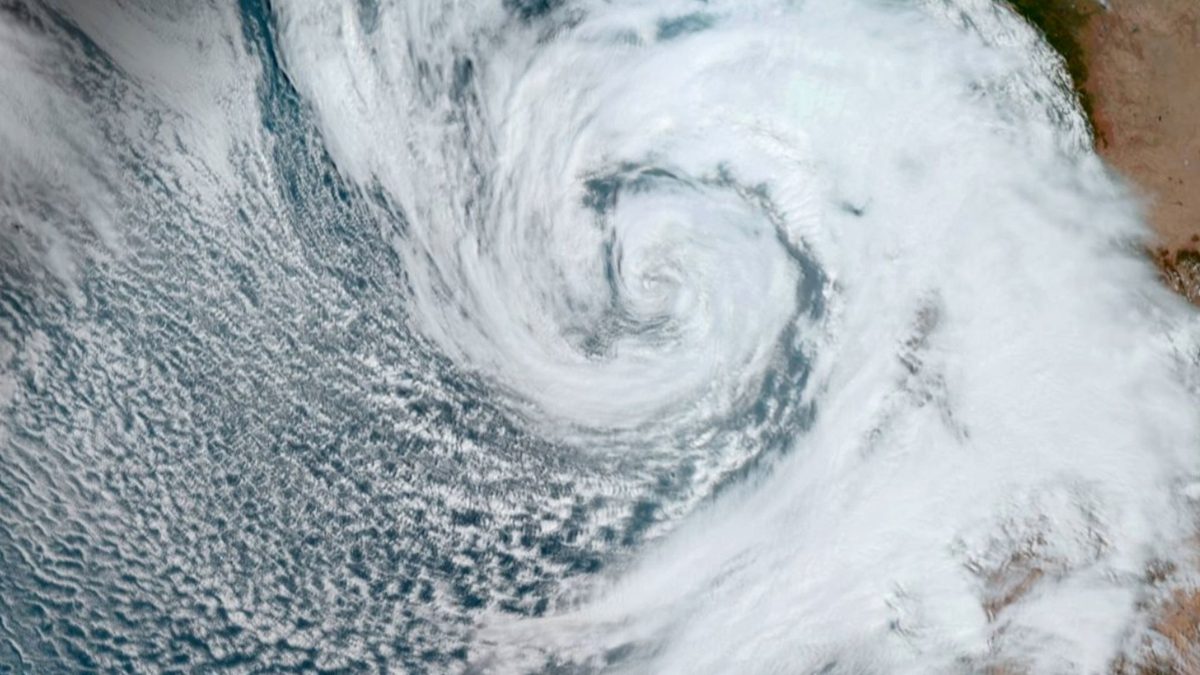
Hurricane Polo underwent a dramatic transformation on Tuesday, September 22nd, escalating from a tropical storm to a powerful Category 5 hurricane in under 24 hours. With maximum sustained winds reaching an astonishing 180 mph (290 km/h), Polo became one of the most potent storms of the Pacific hurricane season. While it has since been downgraded to a Category 4 storm, it remains a significant threat, prompting warnings of life-threatening flooding and mudslides along Mexico's southwest coast.
Key Details
- Rapid Intensification: Hurricane Polo intensified from a tropical storm to a Category 5 hurricane in less than 24 hours.
- Peak Intensity: Winds reached 180 mph (290 km/h) at its peak.
- Current Status: Downgraded to Category 4 but remains a powerful major hurricane.
- Threats: Expected to bring torrential rainfall, life-threatening flooding, mudslides, and hazardous ocean conditions to Mexico's southwest coast.
- Contributing Factor: Exceptionally warm Pacific waters linked to a strong El Niño event.
Background
The Pacific hurricane season officially runs from May to November. Rapid intensification, while not uncommon globally, requires a specific set of atmospheric and oceanic conditions. According to Julian Heming, an environmental scientist at the U.K.'s Met Office, these include high sea temperatures, low wind shear, and upper-air conditions conducive to rapid air outflow from the storm's core.
Hurricane Polo's rapid ascent is directly linked to its passage over unusually warm Pacific waters. These waters are a hallmark of the exceptionally strong "super" El Niño that has been developing since June. El Niño is a natural climate pattern characterized by the warming of surface waters in the eastern tropical Pacific, typically occurring every two to seven years. When these waters are at least 0.5 degrees Celsius (0.9 degrees Fahrenheit) above average, and accompanied by specific wind and pressure changes, El Niño conditions are confirmed. The term "super El Niño" is used informally to describe events where sea surface temperature anomalies exceed 2 degrees Celsius above normal, indicating a particularly potent phase.
“Rapid intensification of tropical cyclones is something we see several times per year across the globe,” Julian Heming, an environmental scientist and researcher at the U.K.'s Met Office, told Live Science. “The main requirements are high sea temperatures, low wind shear and upper air conditions which allow air to escape quickly from the top of the hurricane.”
Impact Analysis
The unusually warm ocean surface provided Hurricane Polo with an abundant supply of heat and moisture, the primary fuel for tropical cyclones. Simultaneously, favorable atmospheric conditions—specifically, moist air at higher altitudes and weak vertical wind shear—allowed thunderstorms within the storm to organize and strengthen without being torn apart. Polo also developed a compact, well-defined eye, which served to concentrate its energy into a smaller area, further accelerating its intensification. This confluence of factors created an efficient atmospheric heat engine, enabling Polo's exceptional strengthening.
While Polo is not forecast to make a direct landfall, the NHC has issued warnings for its potential impacts on Mexico's southwest coast. Residents can expect torrential rainfall, which carries the risk of dangerous inland flooding and landslides, especially in mountainous terrain. Additionally, coastal areas will face extremely hazardous ocean conditions, including powerful waves and dangerous rip currents.
Broader Context
The current El Niño event is notable for its extraordinary strength. Data from the World Meteorological Organization suggests it could be the strongest on record and may persist until at least February 2027. This prolonged and intense El Niño is expected to contribute to a global increase in extreme weather events. While some regions may face severe droughts, others are likely to experience intensified storms, heavier rainfall, and increased flooding risks. The amplification of such events underscores the significant influence of climate patterns on regional and global weather systems.
Future Outlook
As Hurricane Polo continues its northwest trajectory, attention is focused on its potential path and the specific impacts on coastal regions. While the immediate threat to Mexico's southwest coast is significant due to rainfall and ocean hazards, the longer-term track remains uncertain. There is a possibility of the storm moving further out to sea or turning northeastward towards Mexico. Depending on its path, Southern California could also experience intense rainfall and hazardous coastal conditions. Meteorologists are closely monitoring the storm's evolution and issuing updated forecasts.
Conclusion
Hurricane Polo serves as a stark example of how quickly tropical cyclones can intensify under the right conditions. Its explosive growth was a direct consequence of the synergistic effects of record-warm sea surface temperatures, driven by a powerful El Niño, and favorable atmospheric dynamics. This event highlights the critical role of climate patterns in shaping hurricane intensity and underscores the ongoing need for robust monitoring and preparedness in regions vulnerable to extreme weather.
Source: livescience.com